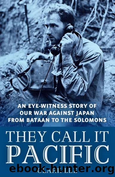
They Call it Pacific by Clark Lee

Author:Clark Lee [Lee, Clark]
Language: eng
Format: epub
ISBN: 9781258964009
Google: rL2OngEACAAJ
Publisher: Literary Licensing, LLC
Published: 2013-10-15T16:08:19+00:00
23
During those first days when Corregidor was under heavy bombing attacks we were too busy keeping our skins intact to learn much about what was going on in Bataan. It was still terra incognita.
I watched the maps on the walls of the USAFFE tunnel and saw that our lines were holding pretty well. That was encouraging until I made the shocking discovery that the powerful army of more than 150,000 troops which we had imagined was defending Luzon had existed only in our imaginations.
Instead of sixty thousand American soldiers, there was only one regiment of infantry, the 31st, and in its biggest fight its frontline strength was only 636 officers and men.
There were less than thirty tanks in Bataan.
There were about ten airplanes.
The American forces, including tanks, Air Corps personnel, Signal Corps, and Engineers, did not exceed five thousand on Bataan with another seven or eight thousand on Corregidor.
The remaining soldiers on Bataan were some thirty thousand Filipinos, of whom approximately half were well-trained Scouts and the remainder virtually untrained recruits.
Our original front line on Bataan, which was designated as the MLR or Main Line of Resistance, extended from Moron on the China Sea side to Abucay on the east coast. On the USAFFE maps the original MLR was indicated in blue pencil with the Japanese positions penciled in red.
General MacArthur did not have even enough troops to hold an unbroken line across the fifteen-mile-wide peninsula, and he had to leave part of the mountainous area in the center undefended. The Japs quickly found that out.
After January 15 the blue pencil lines on the maps began to be pierced by little red arrows, indicating where Jap infiltration parties had come through the undefended portion of the slopes of Mt. Natib.
Then more and more red lines appeared until finally about January 26 the whole former MLR was indicated in red and our second line of resistance had suddenly become the main line.
The second front line which our forces held until the fall of Bataan extended from below Bagac on the west to the town of Pilar on the bay side. That meant that only about eighteen miles of the entire Bataan Peninsula was in our hands.
The front line crisscrossed the only east-west road on the peninsula, so that neither side could use it. Our communications and transport of supplies were confined to a horseshoe-shaped portion of the road around the southern end of the peninsula, extending from the front lines on the west back to Mariveles and Cabcaben, and then up to the front lines on the east. Communications with Corregidor were maintained from Mariveles and Cabcaben.
Mt. Bataan and Mt. Mariveles, the latter 4,600 feet high, were within our lines. Both mountains ran from northeast to southwest and both were so rugged and jungle-covered that no roads could be built across them. General Wainwright commanded the western sector, and General Parker was in command of the eastern sector on the Manila side of Bataan.
After the censors decided to let us tell
Download
This site does not store any files on its server. We only index and link to content provided by other sites. Please contact the content providers to delete copyright contents if any and email us, we'll remove relevant links or contents immediately.
| Central Asia | Southeast Asia |
| China | Hong Kong |
| India | Japan |
| Korea | Pakistan |
| Philippines | Russia |
The Sympathizer by Viet Thanh Nguyen(4370)
The Rape of Nanking by Iris Chang(4189)
World without end by Ken Follett(3456)
Ants Among Elephants by Sujatha Gidla(3449)
Blood and Sand by Alex Von Tunzelmann(3180)
Japanese Design by Patricia J. Graham(3149)
The Queen of Nothing by Holly Black(2573)
City of Djinns: a year in Delhi by William Dalrymple(2541)
Foreign Devils on the Silk Road: The Search for the Lost Treasures of Central Asia by Peter Hopkirk(2451)
India's Ancient Past by R.S. Sharma(2438)
Inglorious Empire by Shashi Tharoor(2421)
Tokyo by Rob Goss(2416)
In Order to Live: A North Korean Girl's Journey to Freedom by Yeonmi Park(2369)
Tokyo Geek's Guide: Manga, Anime, Gaming, Cosplay, Toys, Idols & More - The Ultimate Guide to Japan's Otaku Culture by Simone Gianni(2352)
India's biggest cover-up by Dhar Anuj(2341)
The Great Game: On Secret Service in High Asia by Peter Hopkirk(2324)
Goodbye Madame Butterfly(2241)
Batik by Rudolf Smend(2165)
Living Silence in Burma by Christina Fink(2052)
